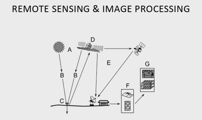
We provide advanced image analysis and remote sensing services by means of top-grade satellite imaging methods. Our GIS professionals are well acquainted with an array of satellite data products and always go for the most up-to-date geographic information system and digital image processing software packages.
We provide a complete range of services to help clients obtain the best type of Digital Imagery, whether it is Aerial Photography or Satellite Imagery. We can deliver the results quickly from desktop, web or mobile devices-making imagery more accessible, more powerful and easier to use across all types of industries and applications including Mineral Exploration, Forestry, Land-Use Management, Environmental Monitoring and Assessment.

Remote Sensing and Image Processing Services
Land Use & Management
Image Interpretation and Classification
A) High-resolution photos provide an efficient means of providing training site information for image classification.
B) During intermediate assessment phases, they are the good tool for verification of a classification.
C) Following field verification, photos are invaluable for reclassification and editing.
D) During the final accuracy assessment of image classification, aerial photography provides an efficient means, in some cases the only means, of determining classification accuracy.
Common classification procedures can be broken down into two broad subdivisions based on the method used:
A) Unsupervised image classification.
B) Supervised image classification.
C) Object-based image analysis
